
Colour map. ‘A New & Correct MAP of the PROVINCE of ULSTER, Drawn from the Latest & Best Authorities’. Published by Alex R. Hogg at the Kings Arms No…. – scan002b
Colour map. ‘A New & Correct MAP of the PROVINCE of ULSTER, Drawn from the Latest & Best Authorities’. Published by Alex R. Hogg at the Kings Arms No…. – scan002b
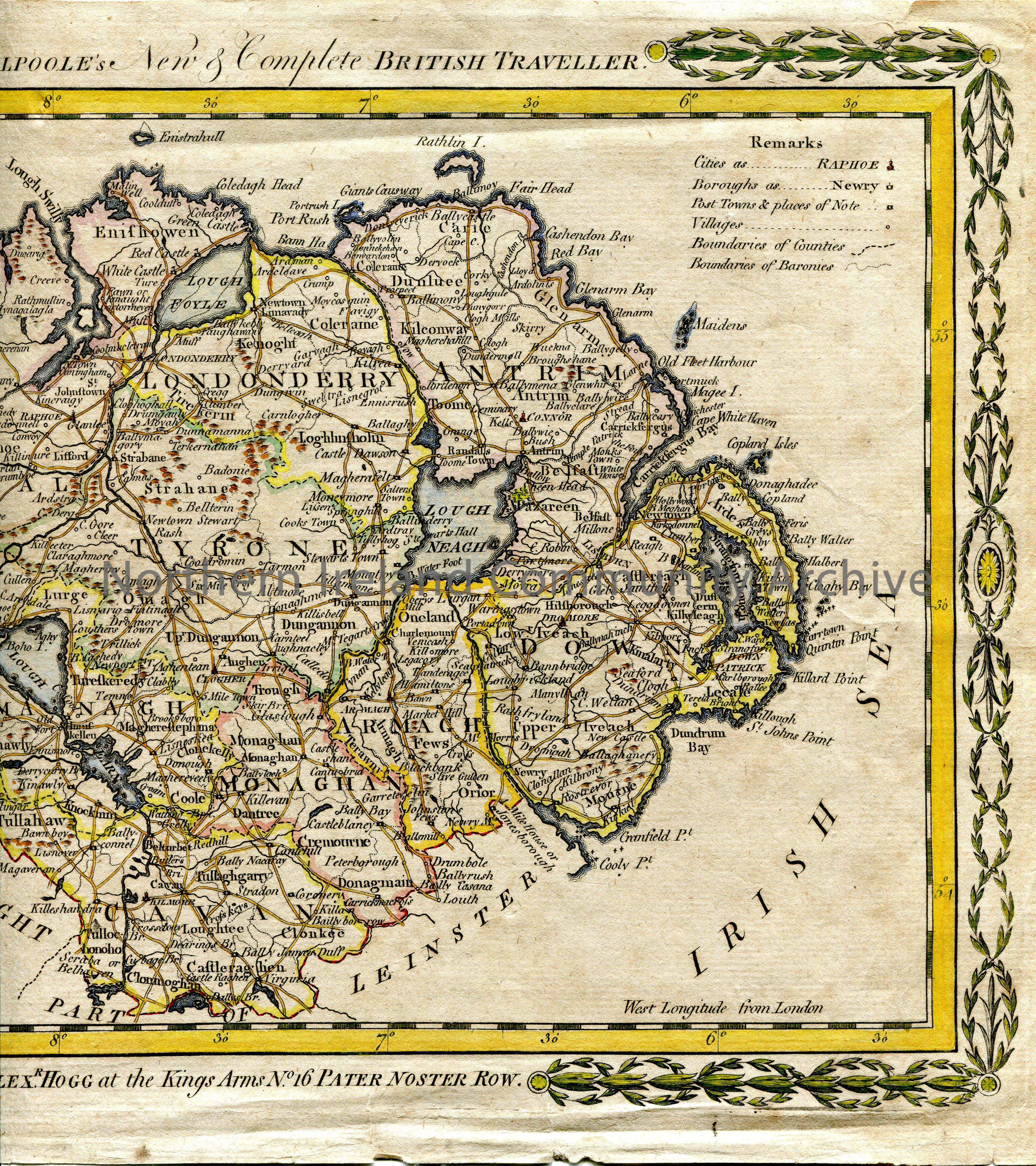
Colour map. 'A New & Correct MAP of the PROVINCE of ULSTER, Drawn from the Latest & Best Authorities'. Published by Alex R. Hogg at the Kings Arms No. 16 Pater Noster Row, London. [1790s]. Floral border surrounds map. Appears below on a vertical flat stone forming part of a decorative cartouche which includes the Giant's Causeway. Includes Cities, Boroughs, Post Towns & Places of Note, Villages, Boundaries of Counties and Boundaries of Baronies. Sea coast shaded in blue, loughs in blue, roads in brown.
Place
Archive Attributes
Collection:
Owner:
File Type:
Accession Number:
CM:2018:767
Added to archive:
04-07-2019