Home
What’s On
Explore the Archive
Project Posts
Learning & Resources
Heritage Trails
Accessibility
Contact Us
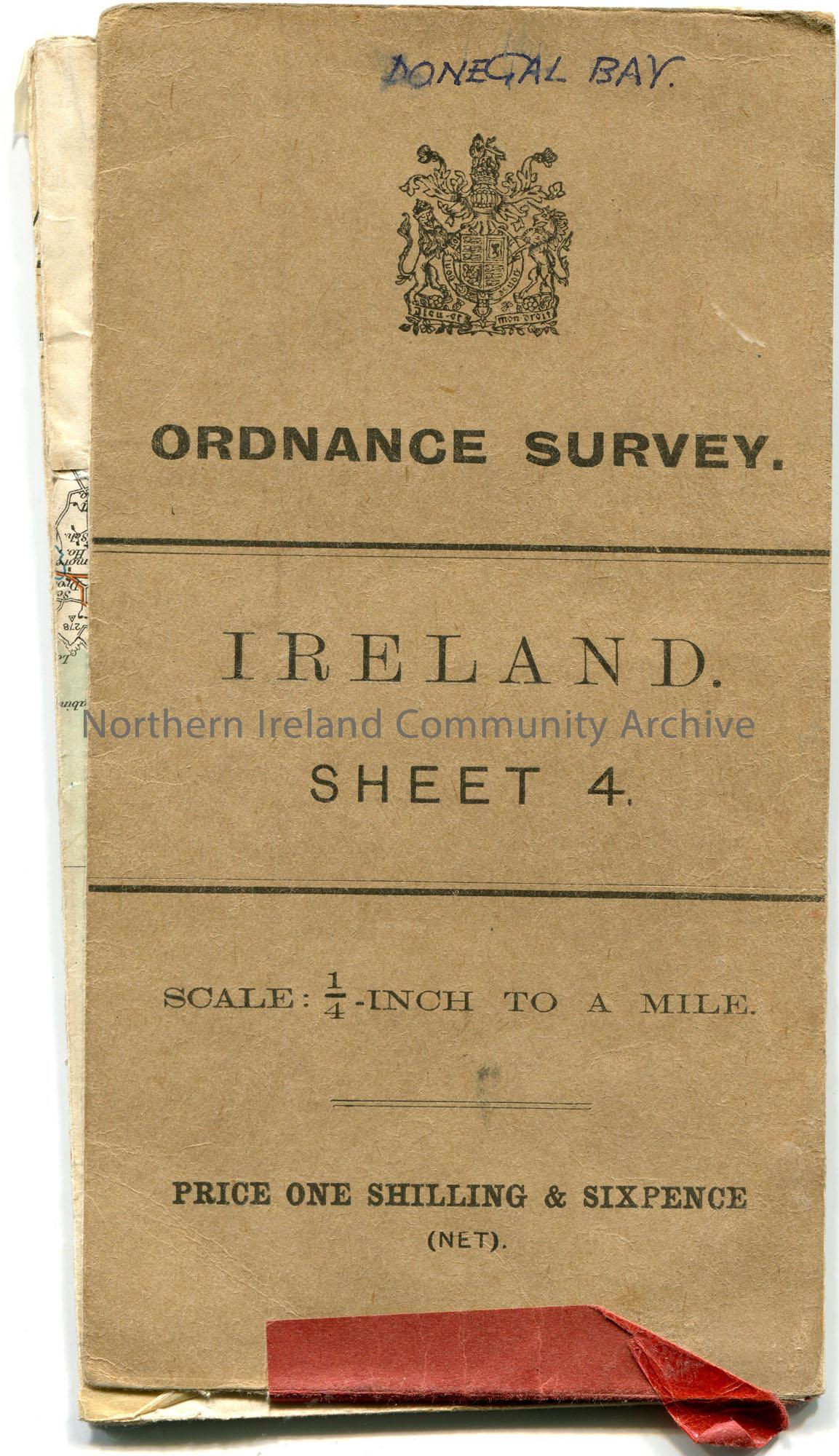
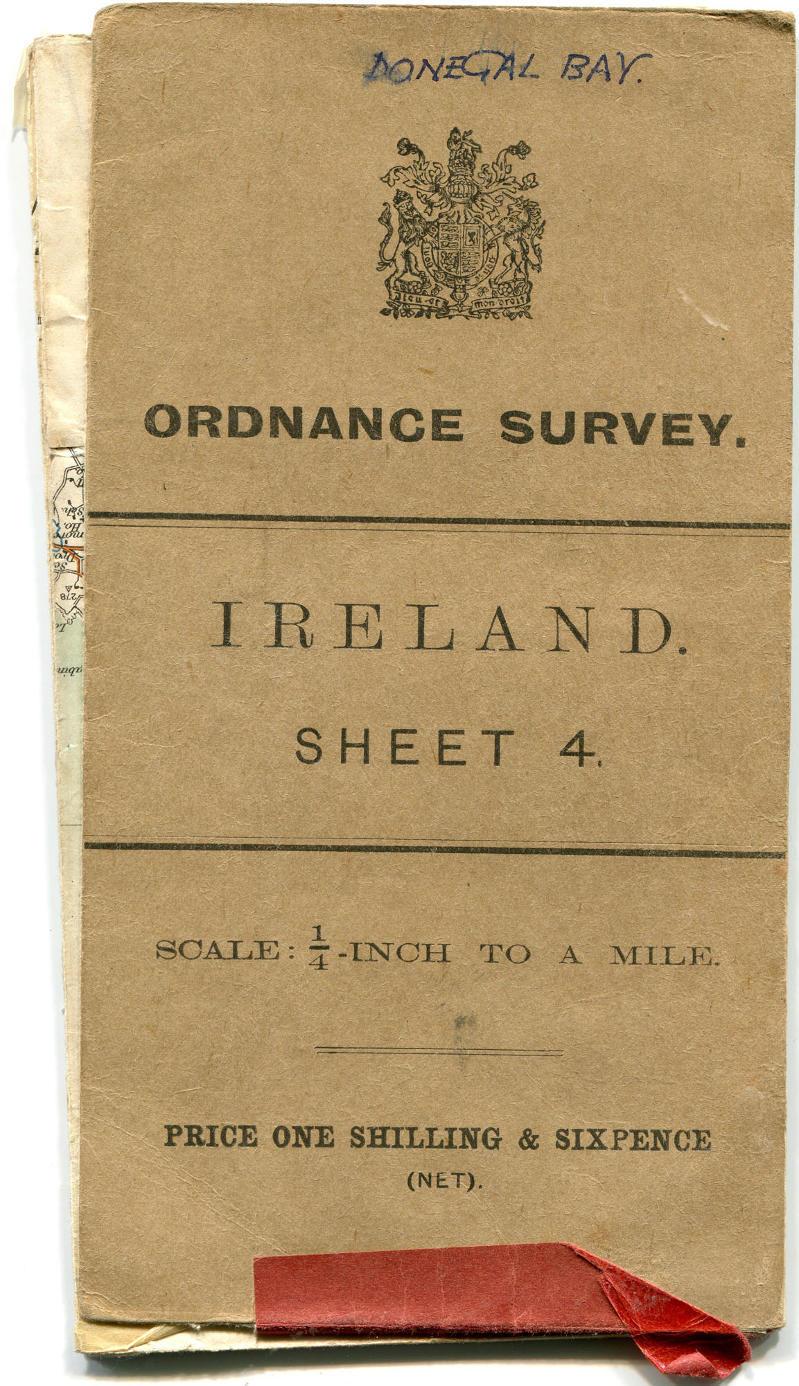
Folded map of Donegal Bay, Fermanagh and Lough Erne area of Ireland. ‘Ordnance Survey. Ireland. Sheet 4.’
Handwritten letter (double sided) to Sam Henry....
Folded map of Donegal Bay, Fermanagh and Lough ...
Folded map of Donegal Bay, Fermanagh and Lough Erne area of Ireland. ‘Ordnance Survey. Ireland. Sheet 4.’
View Document
Folded map of Donegal Bay, Fermanagh and Lough Erne area of Ireland. 'Ordnance Survey. Ireland. Sheet 4.'
Place
Archive Attributes
Collection:
Sam Henry Collection
Owner:
Coleraine Museum
File Type:
Image
Accession Number:
CM:2018:88
Added to archive:
04-07-2019
Share
